
Connected stack
Northwind Geo
01
Open scans, model ground, and send reports without extra steps.
02
Northwind Geo
03
Vertex Civil
04
Orion Survey
LIDAR ANALYTICS
Capture point clouds, model terrain, and process drone surveys in one place. Send clear reports to clients and keep survey, engineering, and mapping work in sync.
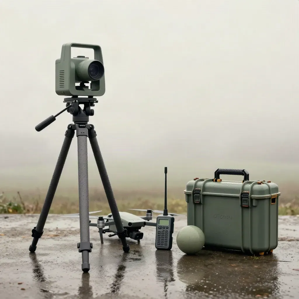
Connected stack
Open scans, model ground, and send reports without extra steps.
Northwind Geo
Vertex Civil
Orion Survey


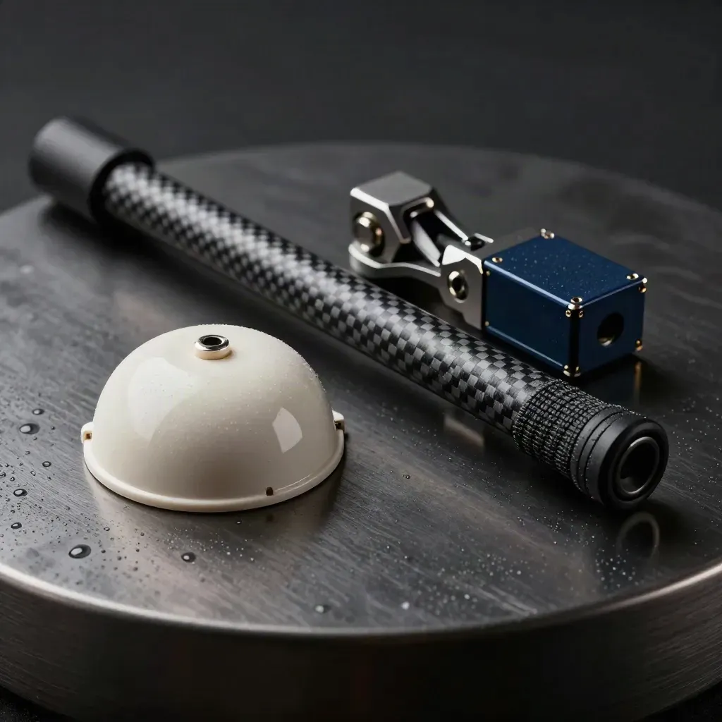


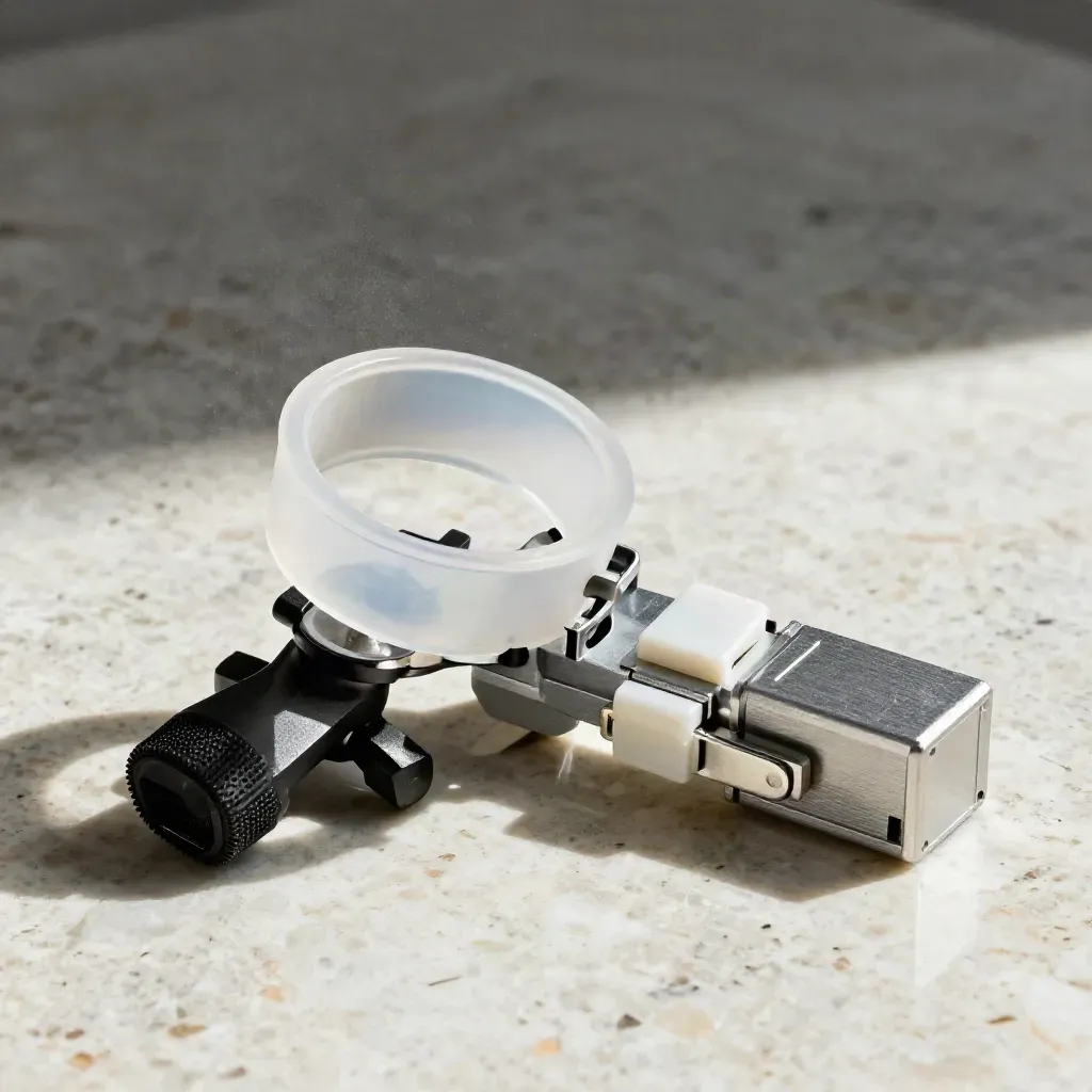
CORE FEATURES
Check dense scans in the browser and spot gaps before you leave the job site.
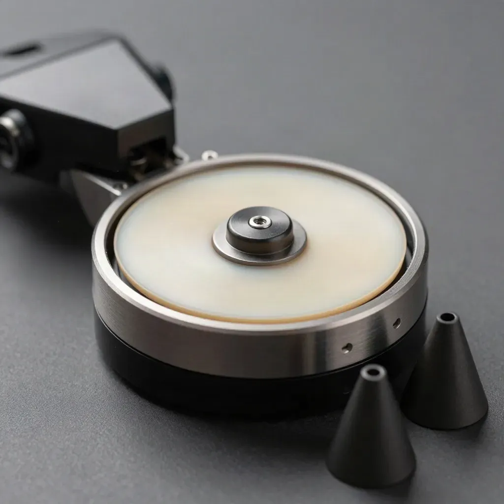
Check dense scans in the browser and spot gaps before you leave the job site.

Turn scan data into ground surfaces that help with cut and fill checks.

Run drone files through one flow and get clean site data back faster.

Calibrate LiDAR gear before each run to cut bad reads and wasted trips.

Export PDF and CSV reports your clients can read right away.
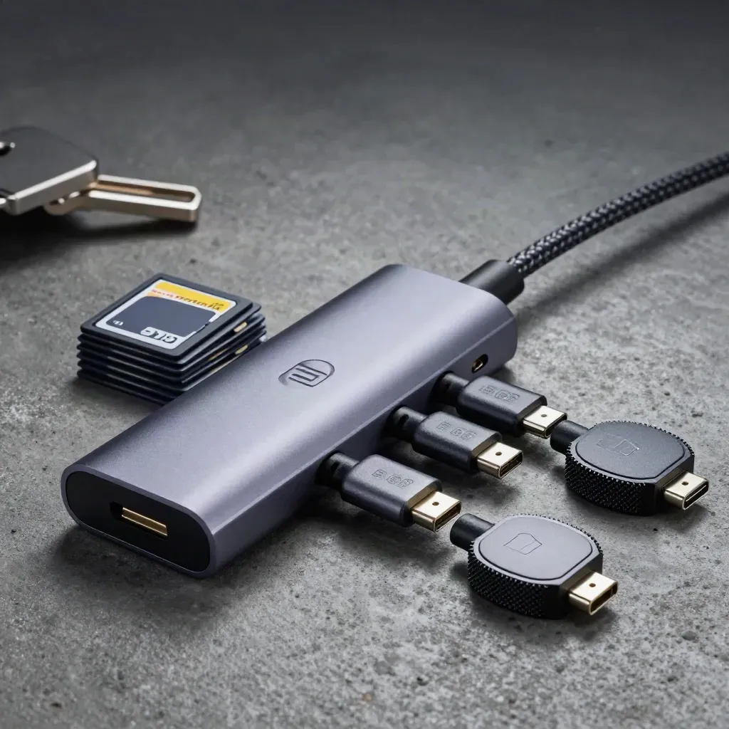
Share scans with one link so field, office, and client teams see the same view.
WHO IT HELPS
Capture scans on site, check coverage fast, and send files back the same day.
Check dense scans in the browser and spot gaps before you leave the job site.
Turn scan data into ground surfaces that help with cut and fill checks.
Run drone files through one flow and get clean site data back faster.
Calibrate LiDAR gear before each run to cut bad reads and wasted trips.
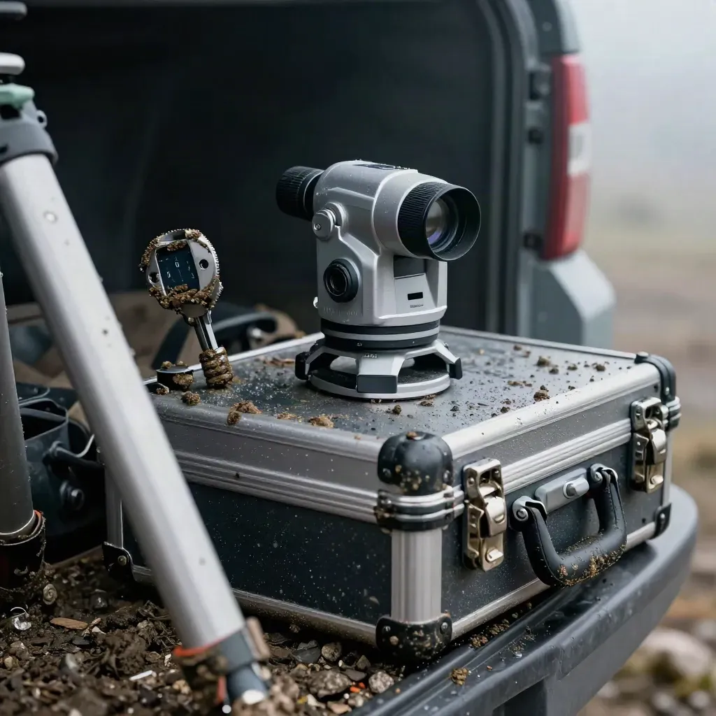
Use case 01
Capture scans on site, check coverage fast, and send files back the same day.

Use case 02
Review terrain shapes, compare grades, and plan work with clean site data.
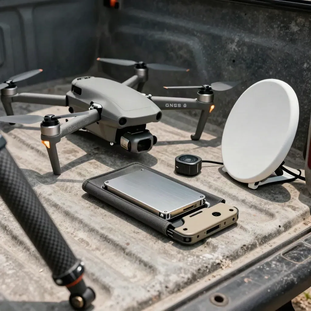
Use case 03
Process drone data, track site changes, and share reports with one link.
scan setup time

scan setup time
point match rate
reports exported
project access
PRICING
One active project Point-cloud viewer Terrain surface preview PDF export Email support
$0
One active project
Point-cloud viewer
Terrain surface preview
PDF export
$129
Five active projects
Unlimited point-cloud uploads
Drone survey processing
Sensor calibration tools
Custom
Unlimited projects
Large drone survey batches
Custom report templates
Role-based team access
Proof
“Point clouds load fast, and the terrain view is easy to read.”

Maya Chen
Survey Lead @ Northwind Geo
“Drone batches finish in one run, which saves our team a full day.”

Eli Hart
Civil Engineer @ Vertex Labs
“Our report packs are clean now. Clients get the files they need right away.”
Sofia Grant
Mapping Manager @ Orion Works
Integrations
Open scans, model ground, and send reports without extra steps.

Open scans, model ground, and send reports without extra steps.

Open scans, model ground, and send reports without extra steps.
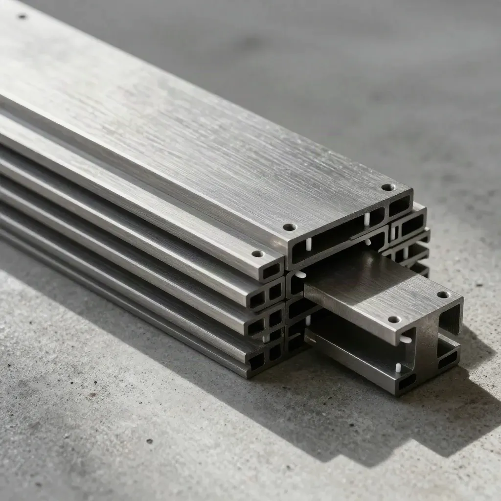
Open scans, model ground, and send reports without extra steps.
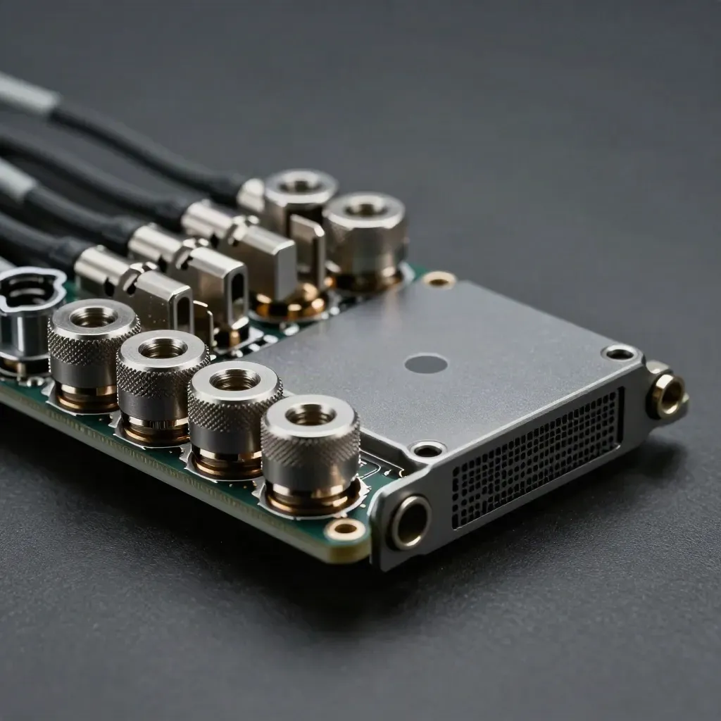
Open scans, model ground, and send reports without extra steps.
The Map
Journal




Questions
Quick answers before visitors choose a product, service, or next step.
Upload common point-cloud files, review them in 3D, and export clean reports for clients and crews fast.
Yes. Bring in drone survey files, clean the scan, model terrain, and share results in one workspace quickly.
No. Start on the Free plan without a card, then move up when you need more projects and team tools.
Yes. Send report links, add comments, and keep survey, engineering, and mapping teams on the same file.
Yes. Enterprise adds custom terms, large project support, role-based access, and rollout help for bigger teams.
It checks your LiDAR setup before a job, so field scans stay aligned and you spend less time fixing errors.
Get short emails on new scan tools, report updates, and field tips for LiDAR teams.